January 2021 3D Laser & Drone Survey
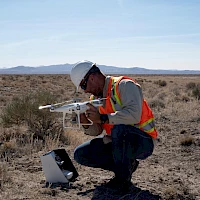
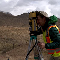
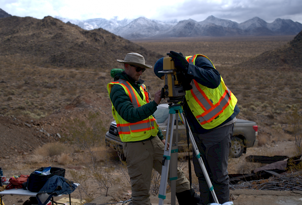
Burgex Mining Consultants (“Burgex”) of Sandy, Utah completed a 3D laser scan and aerial drone survey of the Mohave Project in preparation for the Phase I drill campaign. Using a DJI Phantom 4 Pro V2 to fly the Project and collecting the data for interpretation using Propeller, Kingman created a detailed surface and underground model of the Property. The Company used this information to create maps and a 3D model that can be used for planning drill programs, including hole placement, as well as any future programs. Drone surveys are useful for the accurate location of the drill hole collars in 3D space and are useful as a control for the geologic mapping and the 3D modelling of the old surface workings while giving Kingman a very tight fix on the shaft collars and orientation for the underground shafts and drifts on the various levels of the mine.
This is an oblique view of the historic Rosebud mine workings showing the 100-foot level in pink, the 200-foot level in green and the 250-foot level in blue. The main shaft is shown in white. The proposed drill holes are in red and the locations of the veins at surface are displayed as dark red lines. The background image is the ground surface photographed in detail by the drone and contour lines generated by the survey.
The enhanced data allows for increased certainty that drill holes have been placed for the maximum benefit of the project and to help avoid the drill holes intersecting old mine workings. The drone survey was completed to tie the workings to the ground surface and to assist in planning future drilling, sampling, geophysical or geochemical exploration efforts.


